mobile application for groundwater visualisation")
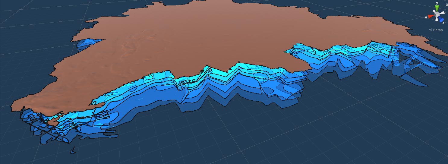
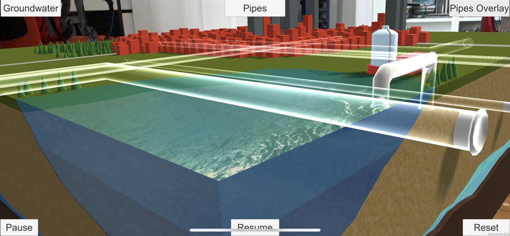
This augmented reality (AR) mobile application integrates a 3D geological model of the Berlin area with groundwater flow and quality simulations to immerse the user into the geological subsurface.

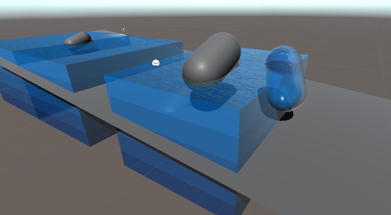
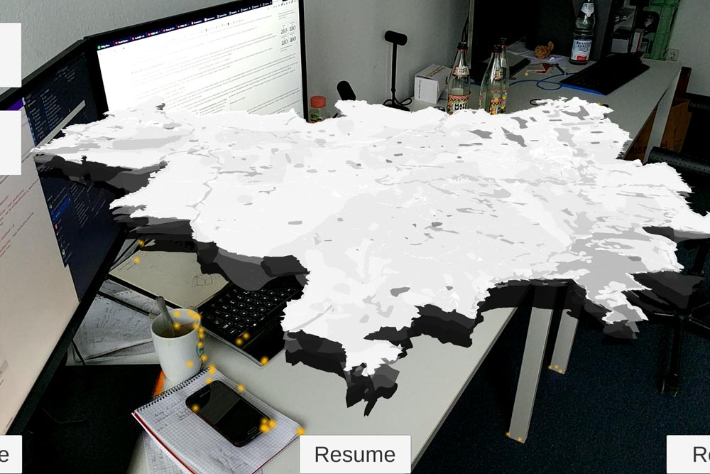
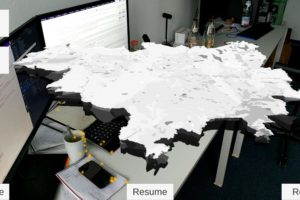
It relies on the potential of AR to inform the public about the role and challenges of groundwater in an engaging and informative way. The application may be used anywhere in a table-top mode to access a holistic view of the Berlin area and individual sites of interest (e.g. specific drinking water wells, lithological structures), or location-based with site-specific information on aquifers and groundwater flow.
Challenges
Groundwater and the drinking water extraction process are crucial but hidden components of the water cycle, and so can be difficult to assess, evaluate and communicate. Groundwater processes are typically shown using schematic visualisations, physical sandbox models or numerical models. This digital solution expands these traditional visualisations into spatial, interactive views combined with a strong narrative that appeals to a broad audience, ensured by user centric design.
Limitations of current practices
Virtual reality and AR tools are being increasingly developed in all kinds of disciplines, making it possible to “look inside” otherwise hidden structures and processes. In geosciences, available products include 3D data visualisations or the superimposition of interpolated information to surface views; however, no dedicated tool is available for groundwater visualisation. Most user-facing mobile applications by utility companies address consumption/ billing or provide general information on water quality or outlet location. This AR visualisation will go beyond the state-of-art by providing both a location-based look into underground processes, as well as an innovative table-top view that can be used anywhere.
Innovation
The solution provides a new communication channel between utilities and citizens. The ability to run and visualise simulations goes beyond the static depiction of facts and figures, making it possible to interact with the public and assess its perception on drinking water sources.
It enables the visualisation of geology and groundwater and highlights its relevance as a drinking water resource and a “hidden part” of the water cycle.
The application can be used for multiple communication purposes (tourism, education, conflict management, discussion with environmental agencies, etc.), making geology and groundwater visible. In addition, the supporting visualisation can prove valuable in other professional areas as well, where situational awareness of inaccessible areas is key, e.g. in renaturalisation of polluted subsurface and underground bodies.
City tests
The solution will be deployed in Berlin at selected drinking water wells and will be available for general use via major application providers (e.g. Google Play Store, Apple App Store). It is used to communicate with the public on major local issues, for example highlighting excellent drinking water quality, fostering tap water consumption against bottled water and raising acceptance among citizens for necessary investments to tackle infrastructure challenges.
Contact solution
VRAGMENTS – Ronny Esterluss : ronny@vragments.com
VRAGMENTS – Stephan Gensch : stgensch@vragments.com
Gallery