The solution is an innovative combination of an unmanned aerial vehicle (UAV or drone) and multi-spectral imagery for remote detection of water stress. It improves the real-time knowledge on water stress in the soil-plant-atmosphere system and enables analysis of the efficiency of irrigation schemes.
Challenges
Modern agriculture aims to increase production while decreasing use of nutrients, chemicals and water, in order to produce more with less impact on the environment and greater food quality and safety. One way to reach such a goal is to shift towards adoption of Variate Rate Treatment (VRT) applications, which focus on the automated and precise allocation of water and nutrients for crop fields and have become an important element in precision agriculture. This helps farmers increase their yields by optimising the levels and distribution of fertiliser and water, while at the same time saving energy and reducing carbon emissions – reducing the overall environmental impact of farming activity. It is a key step in achieving the 4R’s of nutrient stewardship: right source at the right rate, right time and right place. However, in practice the relevant data and tools to implement VRT are often missing. Unmanned operations, autonomous decision systems and artificial intelligence are needed to obtain real-time knowledge on crop status and irrigation needs so as to avoid water stress and crop losses.
Limitations of current practices
The adoption of a VRT approach requires precise and frequent acquisition of crop status in a spatially distributed manner.
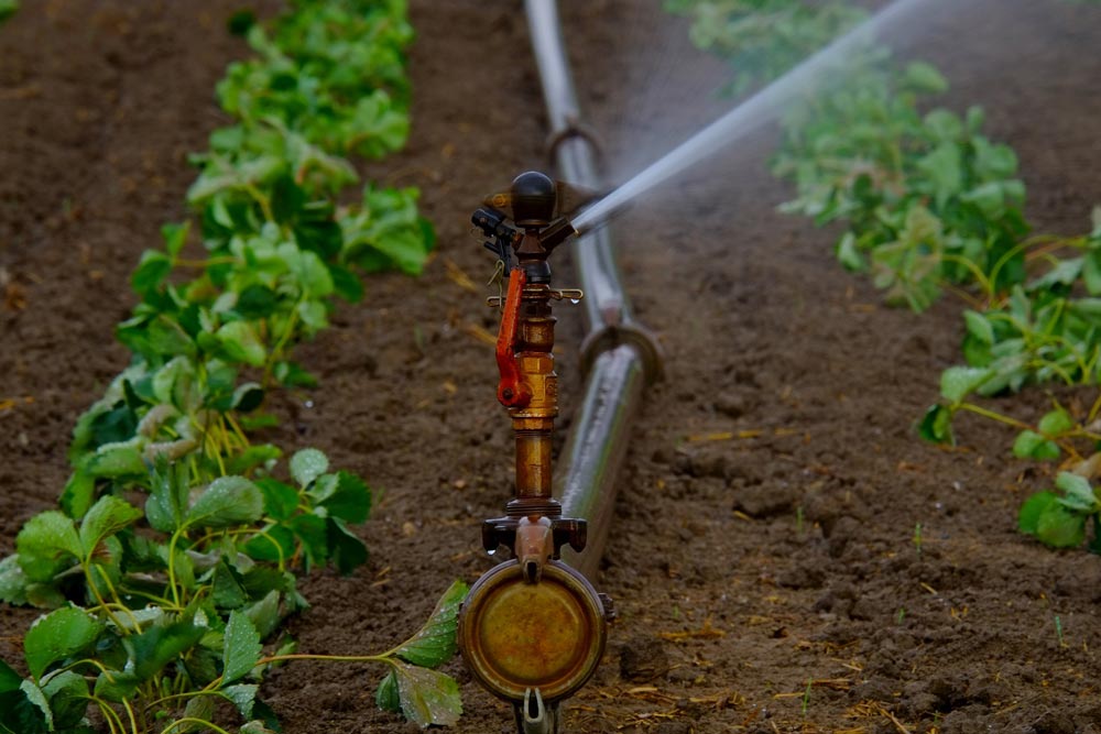
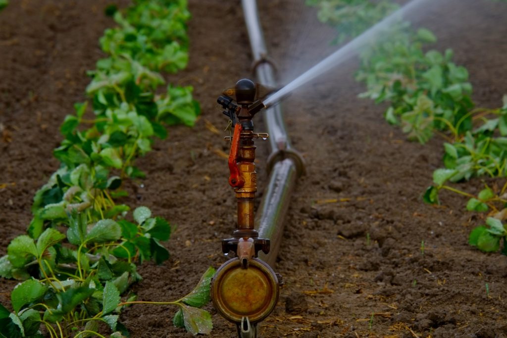
Although multi-spectral and hyper-spectral sensors have been increasingly applied in precision agriculture applications, such methodologies do not yet represent standard practice due to high costs, the training required to deploy drones, and the need to post-process data. The integration of satellite platforms (e.g. Sentinel-2, PlanetScope) enables short-, medium- and long-term monitoring to support agronomists during the planning of agronomic operations to identify nitrogen and water stress. Sensors mounted on ground or aerial (unmanned) vehicles are able to map fields and crops quickly, precisely and accurately by identifying water stress or nitrogen limitations.
Several products are available for supporting irrigation schemes at micro scale, but are not suitable for the collective distribution scheme at the district scale. In addition, there is currently no commercial system available on the market that integrates aerial and ground data to derive water stress maps.
Innovation
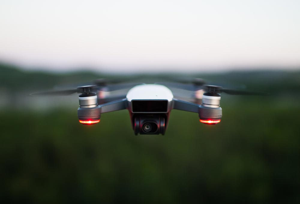
The solution provides a new method for remote detection of water stress by unmanned aerial vehicle (UAV) with multi-spectral imagery combining ground, aerial and satellite data. The integration of UAV data and ground sensors plays a key role in the accurate and early assessment of water stress and the definition of prescription maps, especially at the district scale.
City tests
The solution is being tested at the wastewater treatment plant (WWTP) of Peschiera Borromeo, located in the southern part of the municipality of Milan, and surrounded by an agricultural context typical of Lombardy Padana Plain. The agricultural fields in this area are mainly cultivated with fodder crops (especially maize) and irrigated using traditional techniques such as border irrigation. The water for irrigation is generally conveyed from surface sources (mainly rivers or reservoirs, both natural and artificial) and distributed to the individual fields through a network of open unlined canals of different sizes, relying on gravity as the driving force. The scarce efficiency of water distribution on the fields is joined to the lack of efficiency in water deliveries, with seepages from the canals that can reach up to 50% of diverted water.
The outflow from the WWTP represents a source of additional water for farmers in the area, which can activate new water uses by means of smart irrigation practices driven by a match-making tool (Digital Solution 5.2).
The experimental plot is located inside the WWTP area and is constituted by an embankment of 1,250 m2 (25 m x 50 m). The plot will be sown with maize and divided in two parts (of 625 m2) respectively irrigated by a drip and a border system. The performances of the developed demonstration site will be evaluated through dedicated KPIs. The output from the experimental plot, will feed the match-making tool developed as Digital Solution 5.2.
Contact solution
UNIVPM – Adriano Mancini : a.mancini@univpm.it
UNIMI – Gian Battista Bischetti : bischetti@unimi.it
UNIMI – Claudio Gandolfi : claudio.gandolfi@unimi.it
Gallery